ISRO’s Midnight NVS-03 Launch Strengthens NavIC, India’s Own Navigation System: What It Means for Everyday Indians
GSLV-F18 placed the next-generation navigation satellite in orbit from Sriharikota, with an indigenous atomic clock and a new L1 signal on board
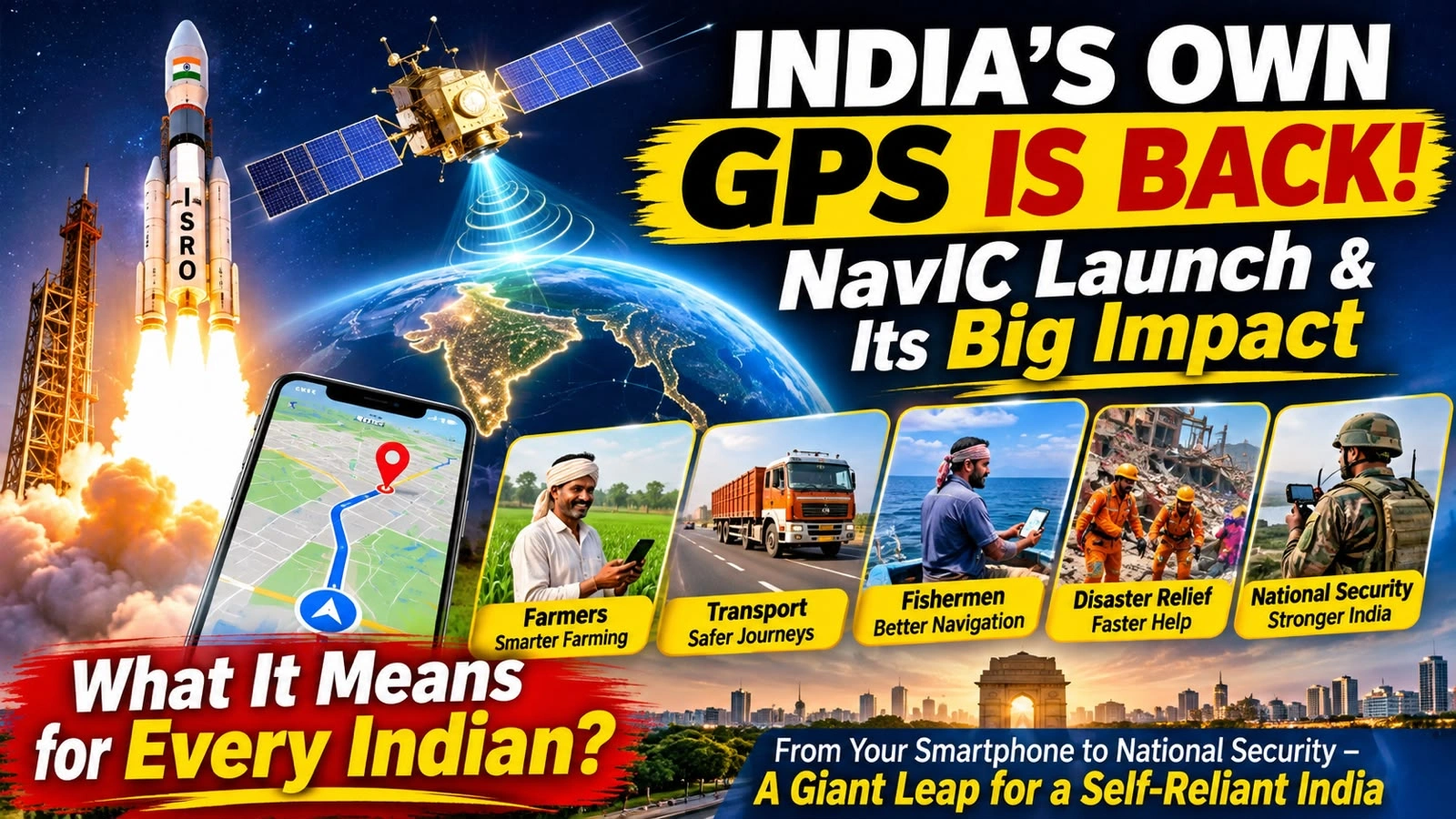
At 11:51 PM on October 30, while much of India was winding down for the night, ISRO’s GSLV-F18 rocket lifted off from Sriharikota in Andhra Pradesh carrying the navigation satellite NVS-03. ISRO says the satellite was placed in its intended Geosynchronous Transfer Orbit. The NVS-03 launch is a step in strengthening NavIC, short for Navigation with Indian Constellation, India’s own satellite navigation system.
It is easy to see the launch as one more spectacular lift-off. What makes it matter is the technology behind it: the same kind of satellite navigation that helps you find a place on a map app, track a delivery, drive on a highway or monitor a transport network. A country that controls its own system depends less on someone else’s.
The NVS-03 Launch: What ISRO Launched
The NVS-03 launch used GSLV-F18, the 20th flight of the Geosynchronous Satellite Launch Vehicle. Its main payload, NVS-03, is the third satellite in India’s second-generation NVS series, built to keep the services of the Indian Regional Navigation Satellite System, popularly called NavIC, continuous and available.
Two features stand out. The satellite carries an indigenous atomic clock alongside other procured atomic clocks, and it adds an L1 navigation signal to the L5 and S-band signals NavIC already uses. Its intended coverage takes in India’s landmass and an area up to about 1,500 kilometres beyond the country’s boundary. ISRO chairman V. Narayanan said the vehicle systems performed as expected, according to media reports.
NavIC and GPS: How They Differ
Most people already rely on satellite navigation without noticing it, whether they book a cab, follow directions or check where a food delivery has reached. GPS, the Global Positioning System, is run by the United States. NavIC does a similar job but is India’s independent regional system, designed for India and its surrounding region.
GPS
A global navigation network operated by the United States, used by millions of devices worldwide.
NavIC
India’s own regional navigation system, giving positioning, navigation and timing over India and about 1,500 km beyond its borders.
The case for having one is strategic. A country should not have to rely entirely on infrastructure run by another nation, especially for sensitive security needs. India’s push for an independent navigation capability gained urgency after the 1999 Kargil conflict, when access to US-controlled GPS information became a strategic worry.
What the NVS-03 Launch Could Mean for Everyday Life
Satellite navigation is not only for rockets, scientists and the military. Here is where the NVS-03 launch and the NavIC network behind it can reach ordinary lives.
Why an Atomic Clock Matters
A navigation satellite needs a clock because your receiver works out where you are by timing signals that travel from the satellite at the speed of light. Even a tiny timing error becomes a big position error. An atomic clock keeps time extremely precisely, which makes it central to satellite navigation. Building one in India strengthens the country’s ability to design, maintain and improve its own navigation system, which is about more than launching a satellite. ISRO chairman Narayanan said, according to media reports, that this is the third indigenous atomic clock placed in orbit, with two already working.
Why the NVS-03 Launch Was Needed
NavIC had been under strain because some earlier satellites had reached the end of their working lives and others had technical problems. In a written reply to Parliament on July 29, 2026, the Department of Space said only three satellites were then providing positioning, navigation and timing services, while at least four operational satellites are needed for basic standalone positioning. News reports say the NVS-03 launch brings NavIC back to that minimum configuration of four satellites.
What Happens Next
From Launch to Service
- 1Orbital manoeuvresNVS-03 has to complete its orbit-raising manoeuvres after the launch.
- 2Technical checksThe satellite’s systems are tested in orbit.
- 3CommissioningThe satellite is brought into service as part of the constellation.
- 4IntegrationIts navigation services are then integrated into operational use.
Launching a satellite and making it fully operational are two different stages. India is also working on further next-generation satellites, including NVS-04 and NVS-05.
Will India Stop Using GPS?
No. GPS remains an important global system and millions of devices will keep using it. NavIC is not meant to switch off GPS or immediately replace international navigation services. The plan is for compatible devices and critical infrastructure to use Indian satellite signals alongside other global systems. This multi-constellation approach can improve resilience and give users more positioning options, and the bigger gain is that India can run an independent regional system.
What Comes Next for NavIC
The real test after the NVS-03 launch will not be the number of satellites launched or the footage of lift-off. It will be how well the technology reaches ordinary citizens. Smartphones, vehicles, farm machinery, transport networks, maritime equipment and critical infrastructure will have to support compatible navigation signals, and businesses and public bodies will have to build the technology into their systems. If that ecosystem takes shape, NavIC could become part of everyday digital infrastructure and help transport, agriculture, logistics, disaster response, telecommunications and national security.
Behind a launch that lasted a few minutes on a TV or phone screen were years of research, engineering and testing. The NVS-03 mission is a reminder that technological independence takes investment in research, home-grown innovation, skilled scientists and the ability to build critical systems within the country.
Quick Answers
What happened in the NVS-03 launch on 30 October?
GSLV-F18, the 20th GSLV flight, lifted off from Sriharikota at 11:51 PM on 30 October 2026 and placed NVS-03 in its intended Geosynchronous Transfer Orbit.
What is NavIC?
India’s independent regional satellite navigation system, covering India and up to about 1,500 km beyond its borders.
Will NavIC replace GPS on my phone?
No. It complements GPS. Whether your phone uses it depends on hardware, receiver compatibility, software support and commissioning of the satellite.
What is new on NVS-03?
An indigenous atomic clock alongside other procured clocks, and an L1 navigation signal in addition to L5 and S-band.